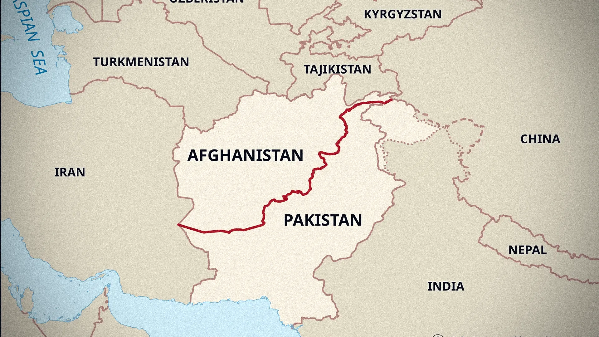




New Delhi has delivered a direct administrative response to Beijing's territorial ambitions by codifying official Indian names for 28 key geographical features across the high-altitude Ladakh region.
By embedding these names into the permanent Survey of India cartographic records, the Indian government is cementing its legal claims over critical border zones, including Chinese-controlled Aksai Chin and former friction points from the 2020 standoff.
The strategic move highlights a broader shift in New Delhi’s border strategy, turning official maps into proactive tools of statecraft. Rather than relying solely on diplomatic rejections of foreign claims, India is now institutionalizing its own nomenclature to prevent temporary military arrangements from altering long-term territorial status.
The Ministry of Home Affairs emphasized that standardizing these names clears up regional ambiguities regarding peaks, passes, glaciers, and water bodies along Chinese-occupied Tibet. The administrative measure ensures that state institutions, scholars, and the broader public operate under a unified territorial framework.

Interested in this ad?
Would you like to continue to the link or provide your information for more details?
Please provide your information
To continue, please fill in your details
Key locations included in the listing, such as Gogra and Hot Springs, carry major strategic weight following the deadly 2020 Galwan Valley clash. While subsequent disengagement agreements established buffer zones and reduced troop contact at these sites, the absence of regular military patrols raised concerns that India’s operational footprint might erode over time.
By officially naming these locations, New Delhi ensures that administrative claims remain firmly intact even where ground patrols are temporarily restricted. This initiative directly counters China's long-standing tactic of renaming locations in Arunachal Pradesh to construct historical narratives.
The inclusion of features within Aksai Chin—a region controlled by China since the 1950s—underscores New Delhi's stance that physical control does not equate to recognized sovereignty. This cartographic assertion cements India’s long-term position that border boundaries cannot be altered through unilateral actions on the ground.
As military and diplomatic talks over the unresolved frontier continue, the official mapping initiative establishes an enduring legal record that ensures India's territorial boundaries remain legally protected for generations to come.