
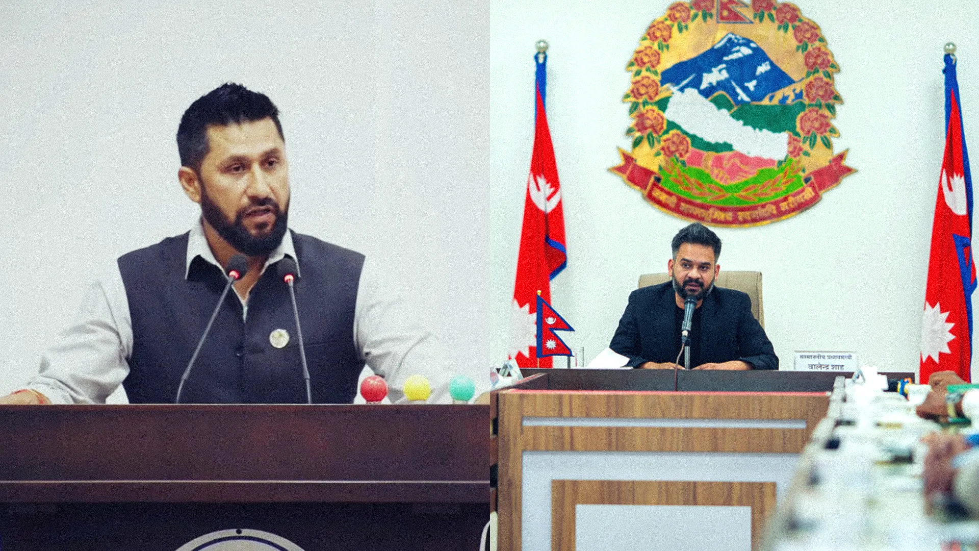
National Independent Party (RSP) Chairman Rabi Lamichhane stated that no further explanation is required regarding Prime Minister Balen Shah's recent parliamentary remarks on the Nepal-India border, as the Ministry of Foreign Affairs has already clarified the matter officially.
Upon his return from a visit to India, journalists at the airport questioned Lamichhane about the Prime Minister's statement in parliament claiming that Nepal had also occupied Indian territory. Lamichhane responded that the ministry's formal declaration remains the definitive stance on the issue.
According to Lamichhane, foreign affairs represent a national priority rather than a partisan issue. He emphasized that since the government's head spoke, the subsequent explanatory release from the Foreign Ministry must be accepted as the ultimate official position.
The Ministry of Foreign Affairs previously clarified that the Prime Minister's reference pertained specifically to the "no-man's land" encroachment and "cross-border occupation." This phenomenon stems from the adoption of the Fixed Boundary Principle in riverine border sectors, which has led to citizens of one nation farming or residing on land falling within the other's territory.
Joint technical teams and bilateral border mechanisms are currently working to manage and map these segments. The ministry noted that long-halted technical committee operations have resumed to collect joint data on these overlapping areas.
Initial technical assessments reveal that certain lands currently utilized by Nepal could technically fall within Indian territory, while areas managed by India might belong to Nepal. The ministry confirmed that the Prime Minister's remarks strictly reflected this technical reality.
Regarding broader territorial issues, the ministry confirmed that diplomatic notes were exchanged with India and China concerning India's operationalization of a pilgrimage route through the Lipulekh region. Both nations have reaffirmed their commitment to resolving these disputes through mutual discussion.
While the 1816 Sugauli Treaty defines the broader international boundary, specific zones like Susta, Limpiyadhura, Lipulekh, and Kalapani await official mapping. Future resolutions will depend heavily on continuous diplomatic negotiations and the ongoing verification work of the joint technical teams.