



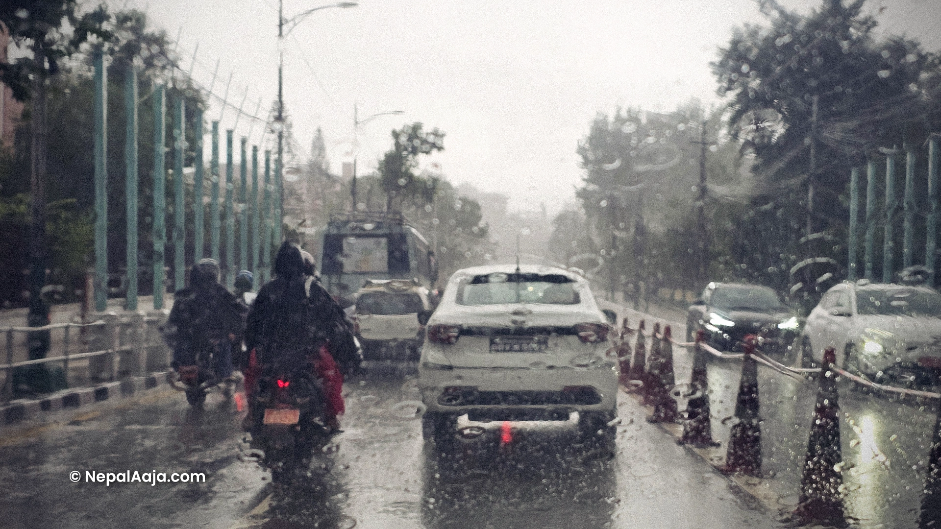
In Nepal, a low-pressure system originating from the Bay of Bengal is set to trigger prolonged rainfall lasting over a week starting next Tuesday, raising significant risks for farmers and travelers across the country.
According to meteorologist Dr. Binod Pokharel, an average of four weather forecasting models indicates that several regions could experience heavy rainfall alongside potential hailstorms. Because different prediction models show varying estimates regarding exact locations and rainfall volume, official advisories stress that weather conditions remain subject to rapid change.

Interested in this ad?
Would you like to continue to the link or provide your information for more details?
Please provide your information
To continue, please fill in your details
The upcoming weather disruption poses a direct threat to agricultural activities, particularly paddy harvesting. Meteorologists strongly recommend that farmers planning to cut paddy next week accelerate their harvest before Tuesday to store crops safely indoors, or postpone harvesting until after the spell passes.
Concurrently, travelers and trekkers venturing into Himalayan regions face heightened safety hazards due to adverse weather. Authorities and weather experts urge the public, especially those planning high-altitude journeys, to monitor official forecasts regularly and adapt their plans to minimize potential damage.